Oshtorankoh, the Alps of Iran
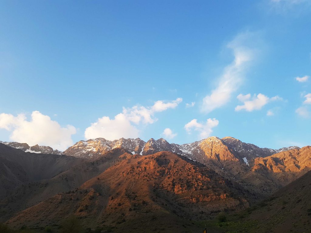
One of the famous peaks in Iran is Oshtorankoh, the Alps of Iran. we called Shotorkoh or Oshtorankoh. in Farsi camel is “Shotor” or “Oshtor”. the mountain is “Koh”. why did I say this explains? because of this mountain is like camel’s humps and connected together. Why is it known as “Alps of Iran”? because of Polish mountaineers in 1931 and after then German mountaineers went to Oshtorankoh. they said these mountains like the Alps.this is story fo Alps of Iran. in the photo below, you can see Oshtorankoh, the Alps of Iran from the side of the south.
Oshtorankoh is the part of Zagros mountains. Zagros continues from northwestern until south of Iran. Dena and Shotorkoh are two famous mountain in Zagros. It has 8 peaks that names from northwestern to southeastern are Gol-Gol, Gol-Gahar, San-Boran, Kole-Layo, Mirzayi, Fiyalson, Piya-Rah, Kol-Jeno. south of this mountain, there is a Gahar Lake. the highest mountain is the San-Boran with 4150m.
| San-Boran | 4150m |
| Gol-Gahar | 4100m |
| Mirzayi | 4080m |
| Kole-Layo | 4070m |
| Fiyalson | 4060 |
| Gol-Gol | 4000 |
how can we get to Oshtorankoh
It’s between three cities. from the north to Azna, the west to Doroud, the east to Aligodarz. as I said, there is three way to get to the Oshtorankoh. from Doroud you should get to Kal-mahmod source and move to 66 mountain. the second path(the best path) is Tiyan village and Kamandan village. I don’t have any information about the Aligodarz path but I’m sure that it’s available.